Port Norris Remote Aviation / South Jersey
South Jersey From a Different Perspective.
Professional aerial photography and video capturing properties, places, landscapes, events, and the region from above.
Field Journal / Volume 01
South Jersey
from above.
A visual journal of coast, marsh, structures, community, and place captured by Port Norris Remote Aviation.
Port Norris / New Jersey
Photography + Motion
Contents
Selected flights
Scroll naturally through the journal, or use the contents to jump directly to a chapter.
The edge of South Jersey.
Coast / water / light / scale
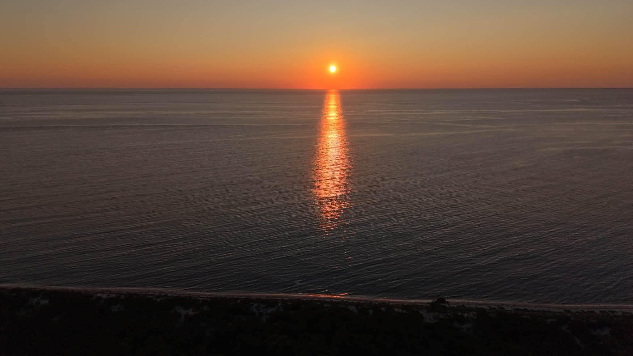
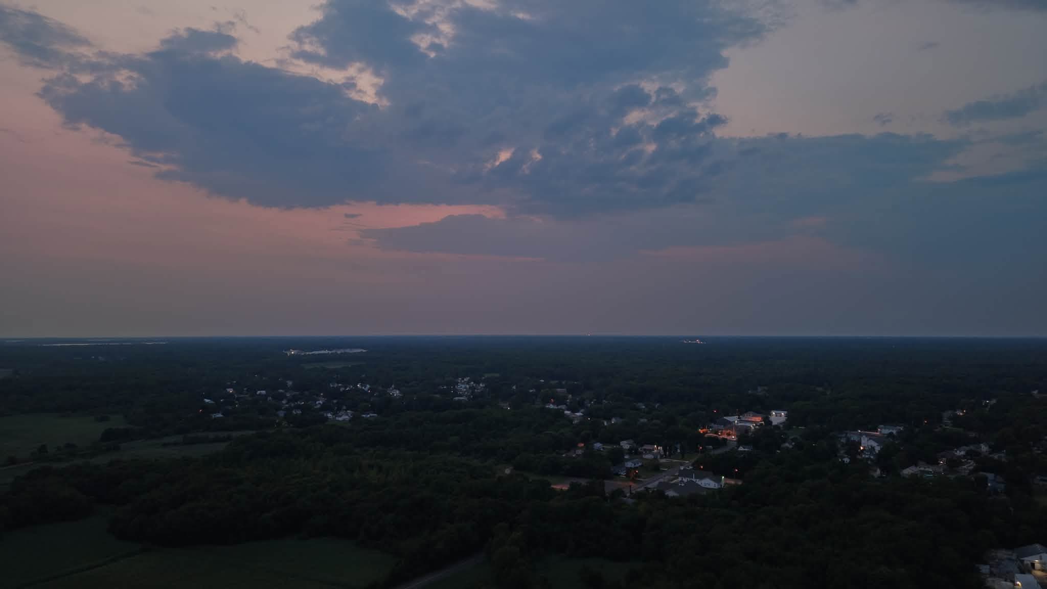
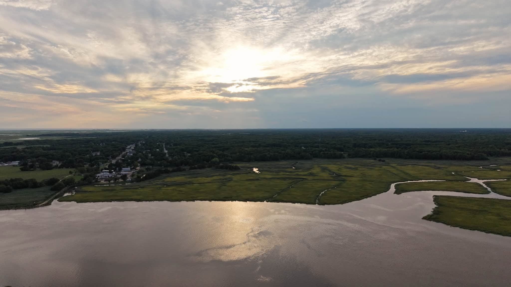
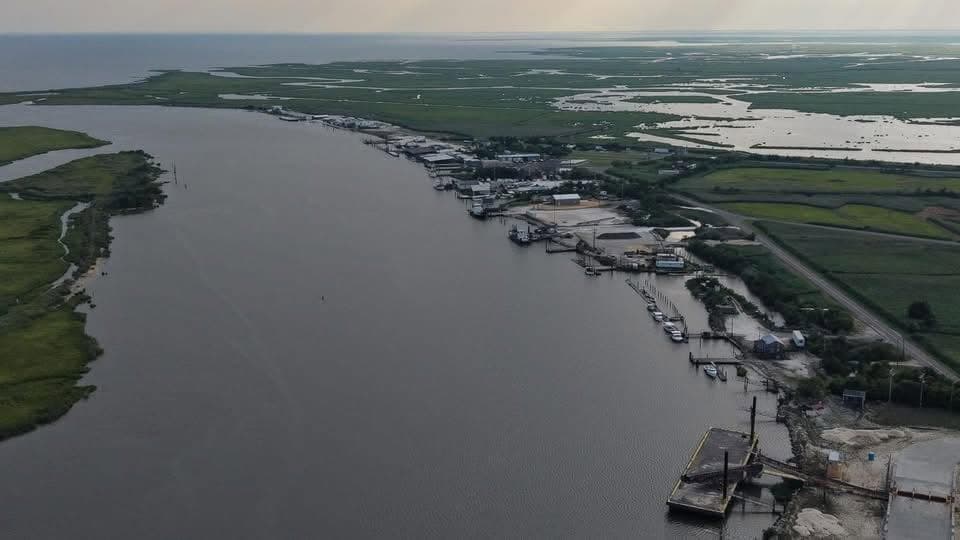
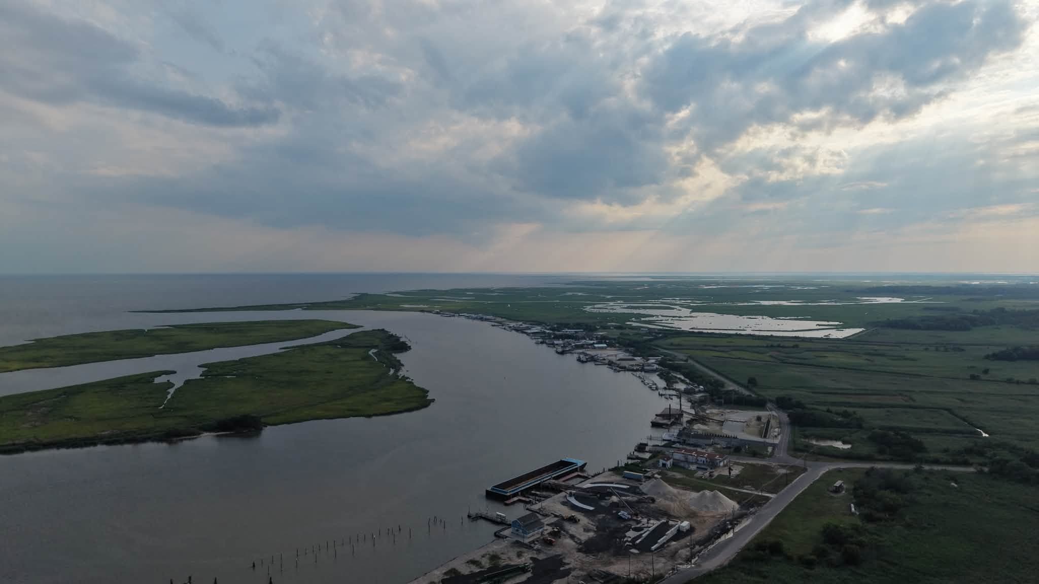
Water, weather, and the shape of the land.
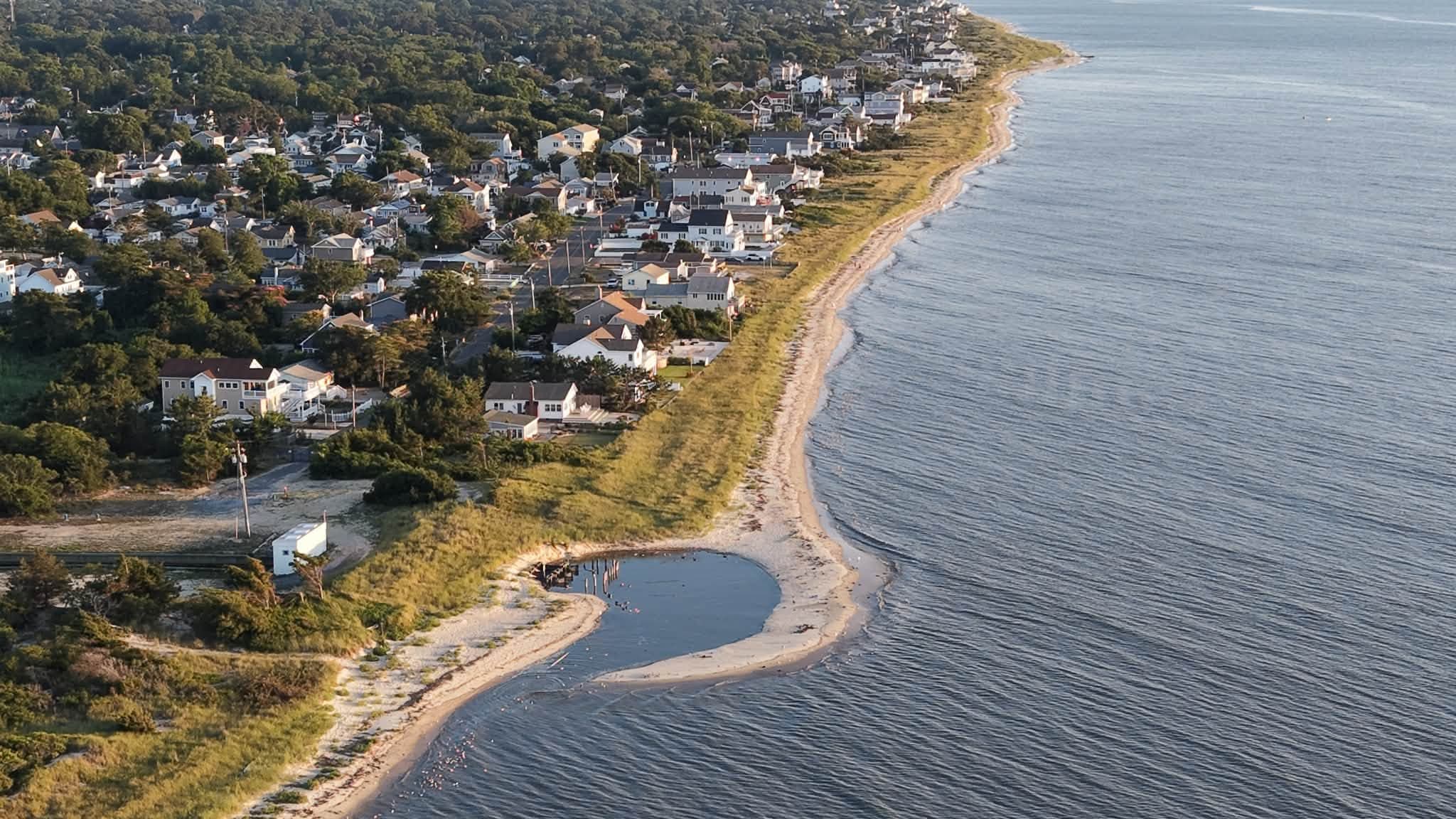
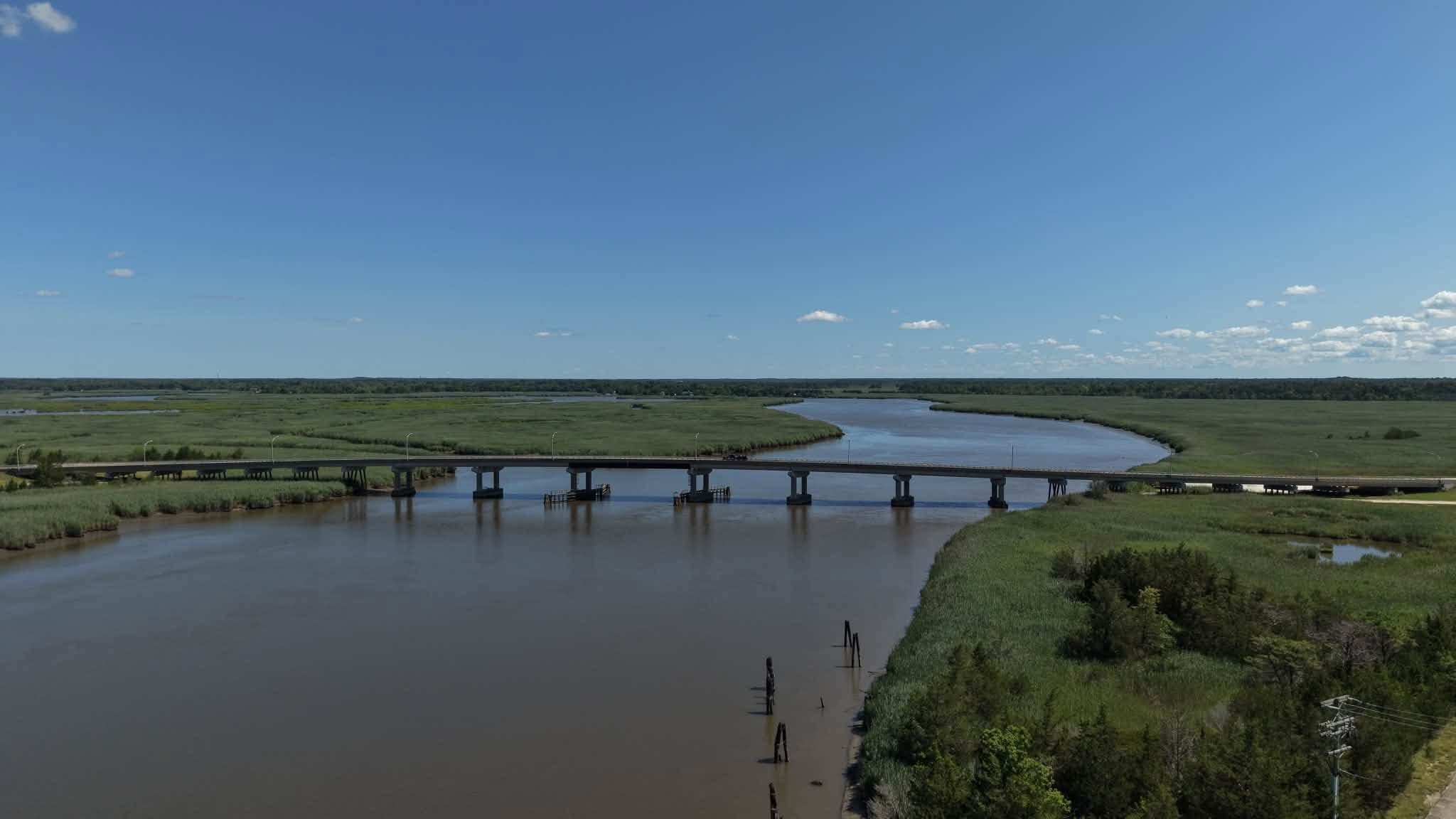
Port Norris sits on the Delaware Bayshore — marsh, working waterways, and small coastal communities that don’t look like the rest of the Jersey Shore. Flying this region regularly means knowing its light, its weather, and its geography, not just its coordinates.
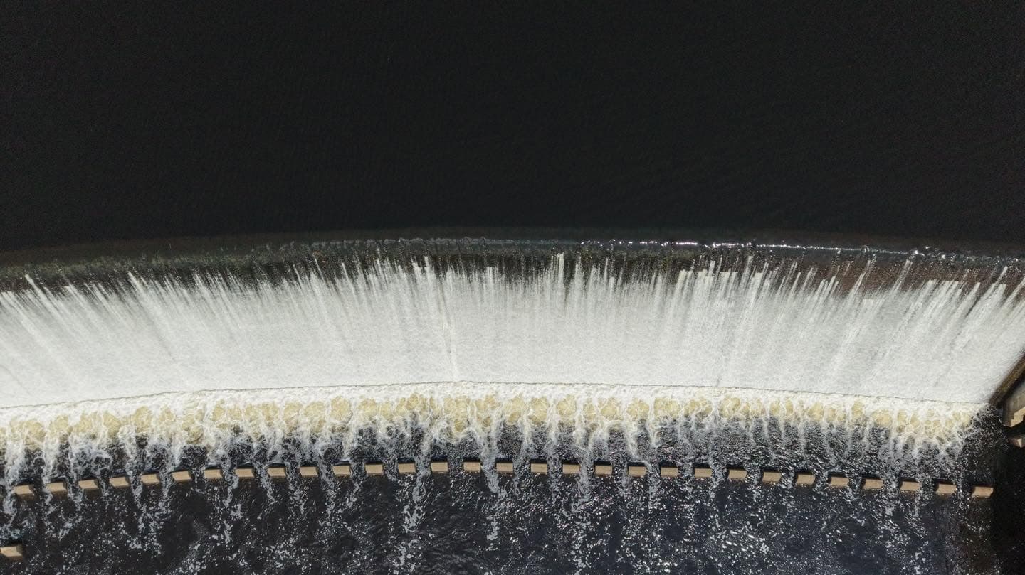
Geometry changes when the camera goes straight up.
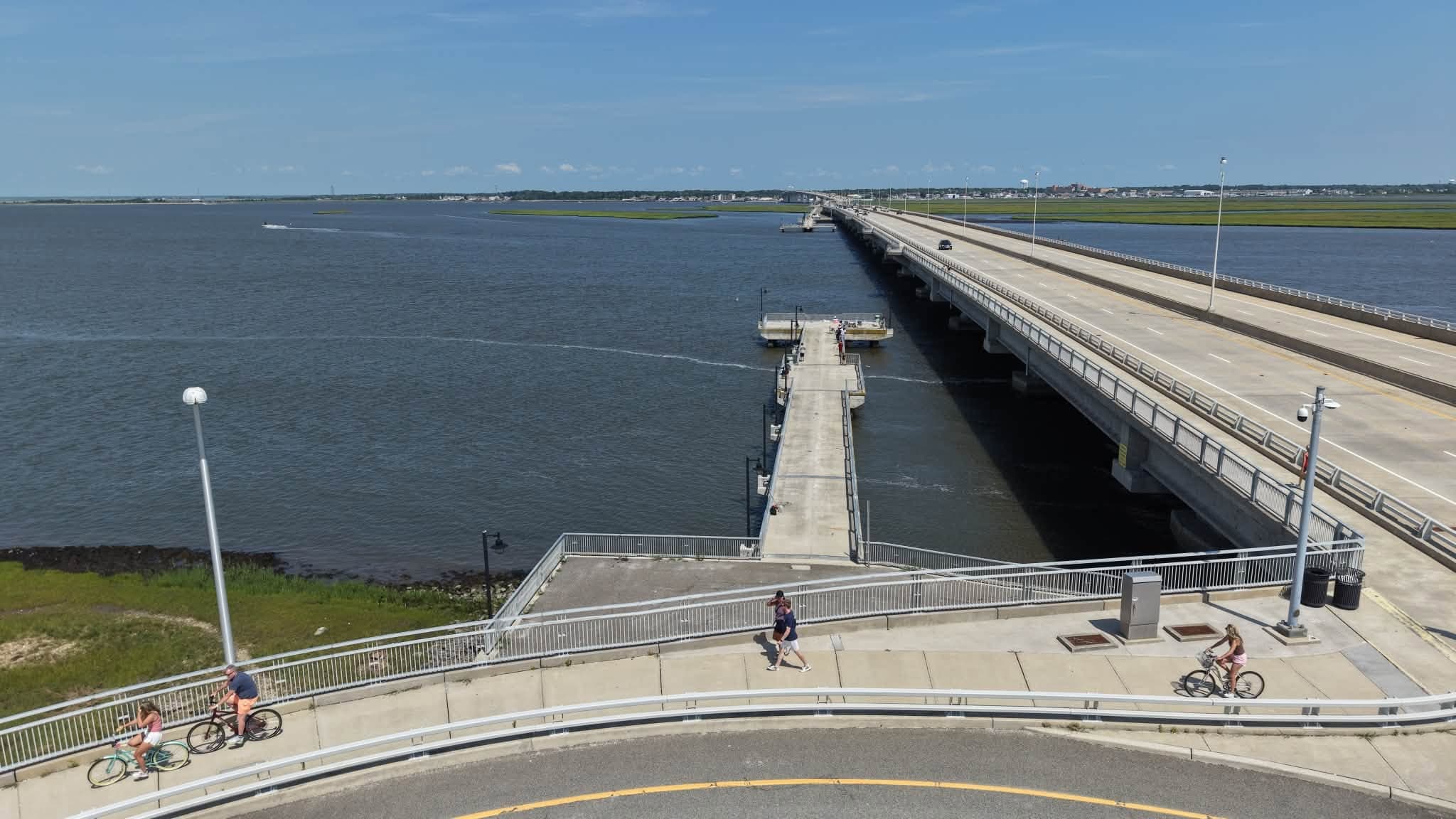
Bridge study / aerial perspective
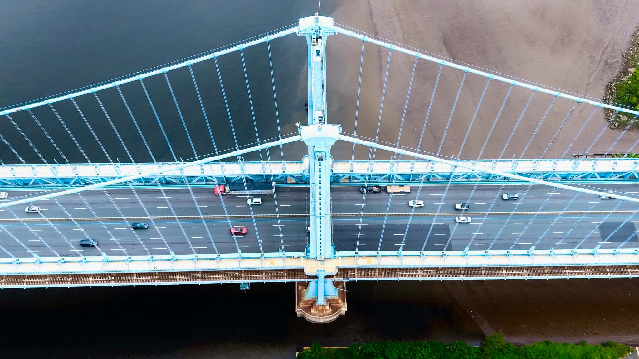
Still photographs show the structure. Motion shows the crossing.
Aerial video adds movement and sequence without turning the page into a background-video effect. Press play when you want the motion.
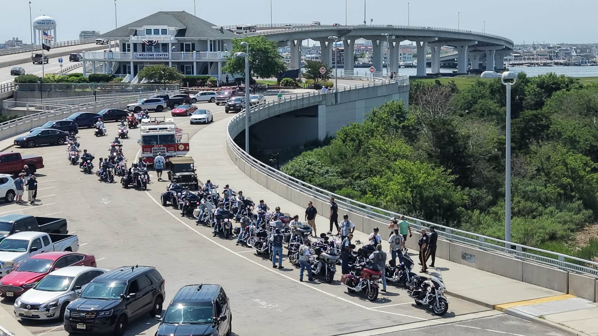
The region at human scale.
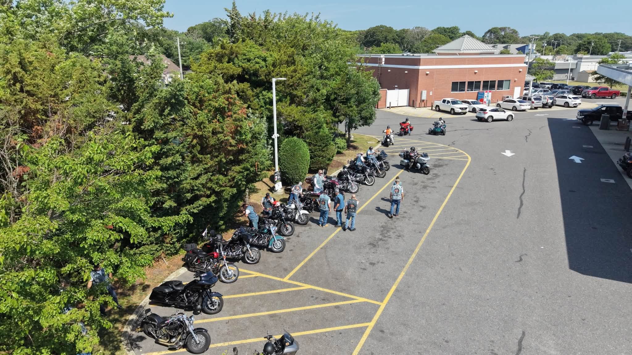
Aerial work can document movement, gathering, and community just as clearly as coastlines and structures.
This work actually comes from here.
Port Norris Remote Aviation captures aerial photography and video across South Jersey — properties, landscapes, waterways, events, and regional projects — flown and edited by Bill Lyman from the region he calls home.
Port Norris / South Jersey / Delaware Bay

One person behind every frame on this site.
Port Norris Remote Aviation is run by Bill Lyman, flying out of Port Norris, New Jersey. Every image on this site was captured by Bill across the South Jersey region he calls home.
More about Bill →What can be captured from above.
A concise flight-assignment index: stills, motion, documentation, and regional project imagery chosen around the subject.
Aerial Photography
High-resolution still imagery of properties, landscapes, and events.
Aerial Video
Controlled video capture for regional and project storytelling.
Visual Documentation
Clear imagery of a place or project as it actually looks.
Regional Project Imagery
Coverage built around South Jersey's coast, waterways, and communities.
End of journal / Start a conversation